
Import geospatial data
For more information on the import format, see the documentation on Geospatial / Tiled Imagery import formats.Supported annotation types
These are the annotation types you may include in your ontology for labeling tiled imagery data. Classification-type annotations can be applied globally and/or nested within an object-type annotation.Use polygon for segmentation mask use cases
Use the polygon tool if your use case requires segmentation masks for the following reasons:- The polygon tool with free-hand annotations will allow you to draw the necessary shapes and the export will return the vertices in the coordinate system of your geo file.
- You will not have to deal with large PNGs that are returned when using segmentation masks.
Bounding box
Create a bounding box by starting at one corner and dragging your cursor to create the shape around an object in the tiled image. You can also click and drag to reposition the bounding box on the tiled image.
Polygon
Create a polygon annotation by clicking to create each point in the shape. Click the first point to close the polygon.Pen tool
In order to create a more free-hand shape, click and hold down your mouse, and the polygon tool automatically adds vertices in the cursor’s path. The slower you move your cursor, the closer the points will be together. Alternatively, let the cursor go to draw straight lines between points. The pen tool is only available when creating polygons. Click the pen icon with the plus sign to use the pen tool.
Erase tool
You can use the erase tool to clean up the edges of your polygon. Click the pen icon with the minus sign to use the erase tool.
Polyline
Use the polyline tool to label lines in the tiled imagery editor. Click on the last point to complete the line.
Point
Use the point tool to label precise locations on the tiled image.
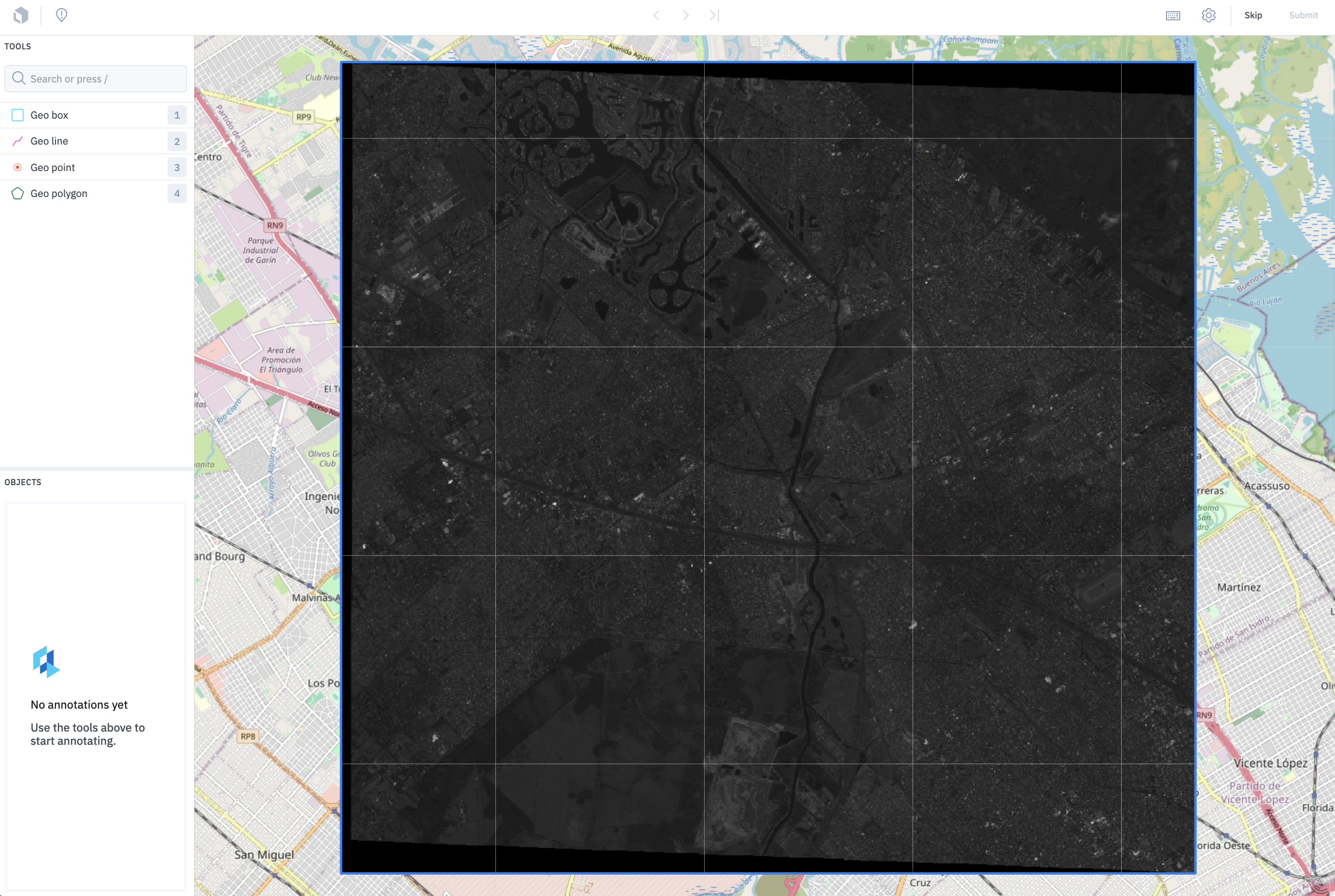
How Slippy maps work
Tiled imagery uses a slippy map tool for labeling map tiles of the earth at various zoom levels. Slippy map is a term that refers to modern web maps that allow for zooming and panning. Map tiles are structured like a pyramid of zoom levels. The topmost layer is the largest in size and only includes one tile. The tiles in each subsequent layer decrease in size but increase in number and resolution. You can use theminZoom and maxZoom parameters to specify the zoom level limits. The zoom parameter is an integer between 0 (zoomed out) and 18 (zoomed in). 18 is normally the maximum, but some tile servers may exceed that.
In order to use our tiled imagery editor, you must use a tile server to create your map tiles. When you import your map tiles, you can use bounds to specify the area of interest and to break up your map tiles into appropriate labeling tasks.
Tiled imagery supports the following coordinate reference systems (CRS):